
Unlock Location Intelligence with Our API
Discover the power of MH Community Data Services API. Designed for insurance carriers, MGAs, and analytics platforms, our API delivers precise geospatial and community-level intelligence for any U.S. location, enhancing your decision-making process.

Explore the Detailed Features of Our Community Data Services API
Our API offers a suite of powerful features designed to provide comprehensive location intelligence. From identifying mobile home communities to determining windpool eligibility, we equip you with the data you need to make informed decisions. Each feature is crafted to deliver accuracy and efficiency, enhancing your operational capabilities and strategic insights.

Community Identification
Pinpoint mobile and manufactured home communities with unparalleled accuracy. Our API returns a unique community ID, name, and size, ensuring reliable data for underwriting and risk assessment. Replace unreliable user data with our validated source.

Distance to Coast
Assess coastal proximity with precision. Our API calculates distances to various coastline types, including hydrographic and client-defined coastlines. This feature is crucial for evaluating flood risk and informing insurance pricing strategies effectively.

Windpool Eligibility
Determine windpool eligibility with ease. Our API provides accurate windpool eligibility assessments, helping you navigate state insurance requirements and optimize risk management. Ensure compliance and reduce potential losses with our reliable data.

North Carolina Rate Bureau Territories
Identify the North Carolina Rate Bureau (NCRB) territory for any provided location, returning the correct rating territory code for underwriting and pricing workflows.

Housing and Urban Development Zones
HUD zones classify the wind, roof‑load, and thermal standards a manufactured home must meet for safe placement in a specific location. They ensure homes are built for the climate and wind conditions of the area, and they determine where a home can legally be installed.

Enhanced Community Data
A single API lookup that enriches any address with authoritative wildfire, flood, ownership, and amenity data for manufactured and mobile home communities.
Enhanced Community Data
A single API lookup that enriches any address with authoritative risk, ownership, and lifestyle data for manufactured and mobile home communities.
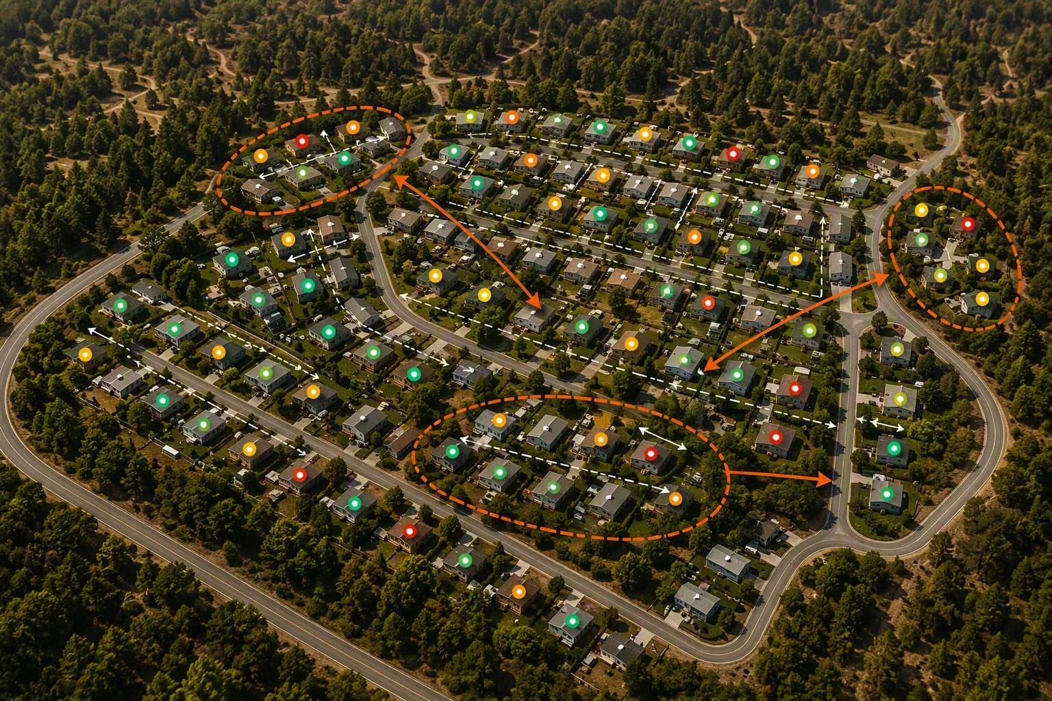
Wildfire Exposure Analytics
Building-pattern intelligence that goes beyond generic wildfire maps.
- Average, median, and minimum spacing between structures
- Defensible-space violation percentage
- Buildings-per-acre density and footprint coverage ratio
- Automatic detection of building clusters, an underwriting risk signal
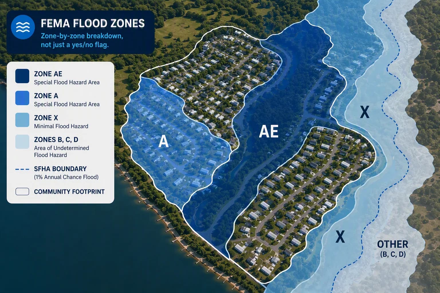
FEMA-Grade Flood Risk
Zone-by-zone breakdown, not just a yes/no flag.
- % of land and % of buildings in each FEMA flood zone (A, V, B, C, X, D)
- SFHA coverage: acreage, building count, and square footage exposed
- Dominant zone, worst-case zone, and distance to nearest SFHA boundary

Operator Transparency
Operator details on who manages the community.
- Ownership and management company
- Senior-focused park designation
- Homeowners association (HOA) presence
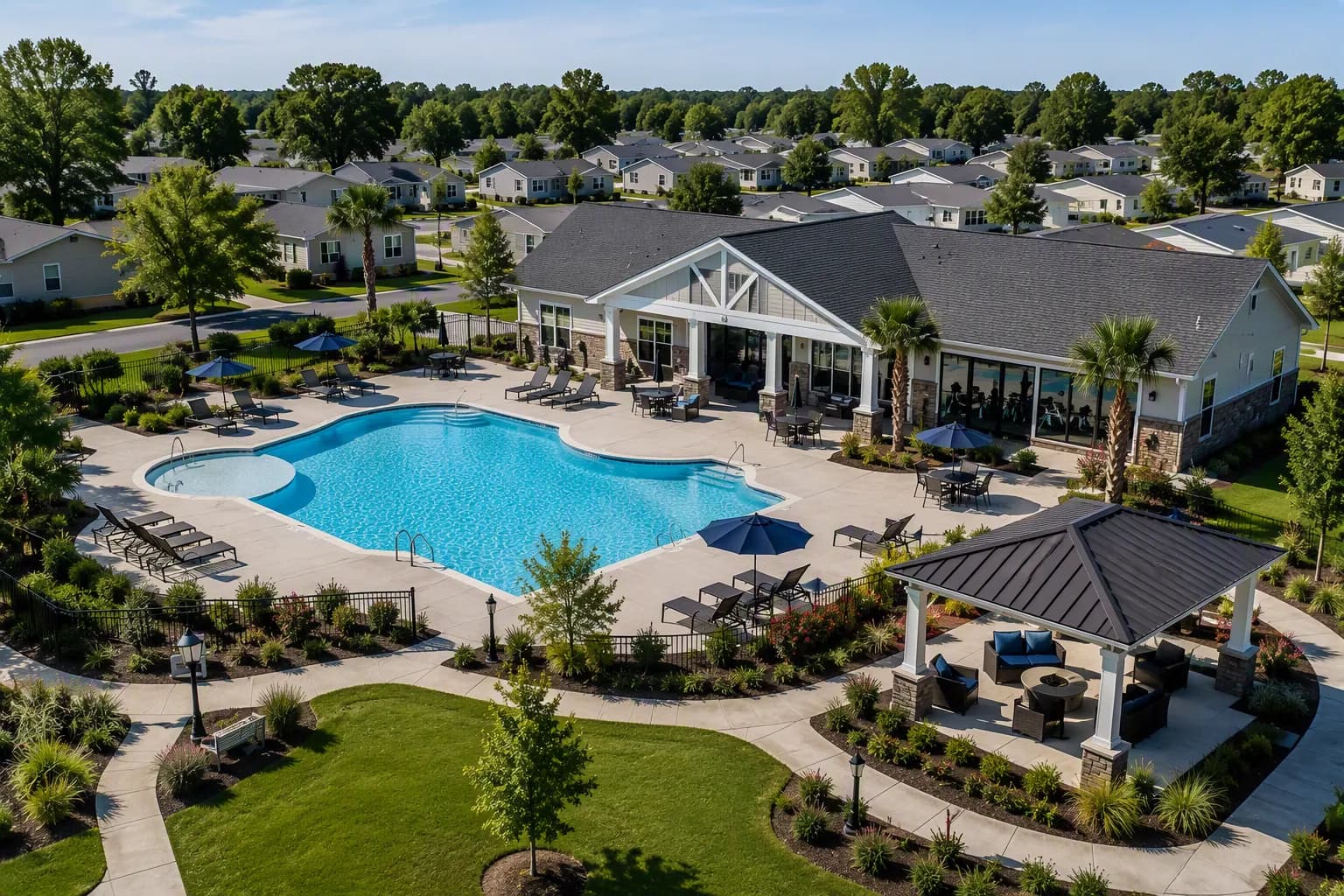
Amenities at a Glance
Instantly surfaces the real, verified amenities available at a community.
- Pool, clubhouse, fitness center, security gates, and more
- Only returns fields that are actually present, no clutter